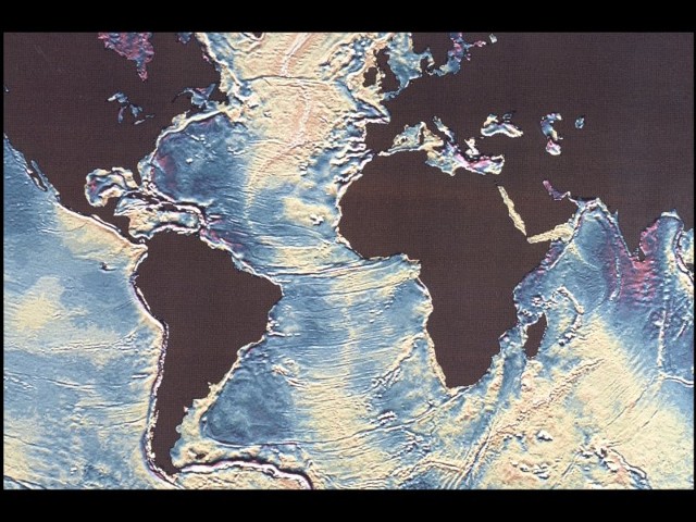
William Haxby dies at 56
 William F. Haxby, who created the first maps of the ocean floor to be based on satellite measurements of the water's surface and became a master at translating complicated marine data into comprehensible visual displays, died on Wednesday at his home in Westwood, N.J. of heart attack. He was 56. Dr. Haxby, a research scientist at the Lamont-Doherty Earth Observatory at Columbia University since 1978, used measurements of the height of the sea surface from Seasat satellites and other sensors to produce first global "gravity field" map of the world's oceans (in 1983).
NY Times.


0 Comments:
Post a Comment
<< Home